Hermit's Cave
May/02/2021
Coordinates:
42.62673° N, 72.41749° W
(copy and paste GPS coordinates into browser search bar for exact location)

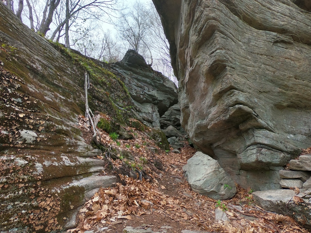
The hillside above the Miller’s River is comprised of steep cliff-faces with precipitous drops. The “caves” are formed by overhangs.


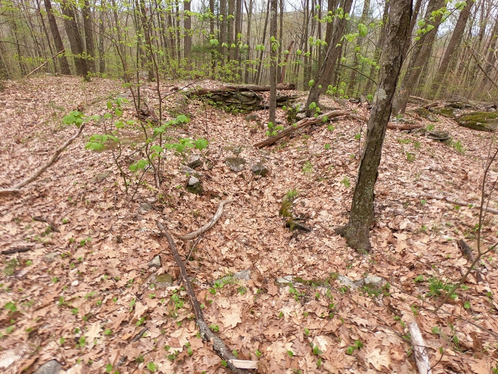
The hermit’s now collapsed underground storage structure appeared to be adjacent to running water

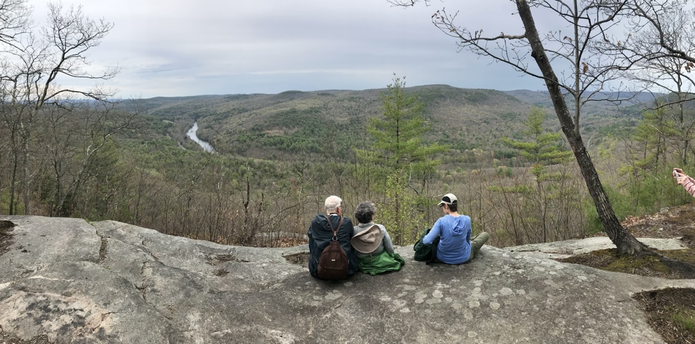
Above the Miller’s River looking down into the valley west of Erving
42.62673° N, 72.41749° W
(copy and paste GPS coordinates into browser search bar for exact location)

The hillside above the Miller’s River is comprised of steep cliff-faces with precipitous drops. The “caves” are formed by overhangs.


The hermit’s now collapsed underground storage structure appeared to be adjacent to running water

Above the Miller’s River looking down into the valley west of Erving

