Williamsburg Historic Dam
July/04/2022
Coordinates:
42.42889° N, 72.73961° W
(copy and paste GPS coordinates into browser search bar for exact location)

This 1.5-mile woodland trail traverses the east bank of the Mill River and leads to the ruins of the dam whose breach on May 16, 1874 caused the Mill River Flood disaster. This article online provides a lot of background on the disaster.

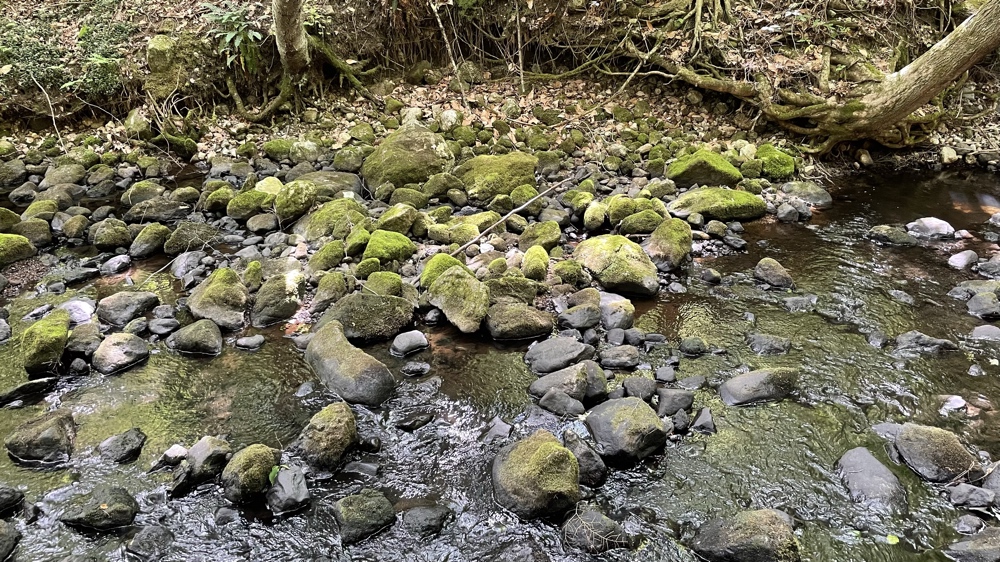
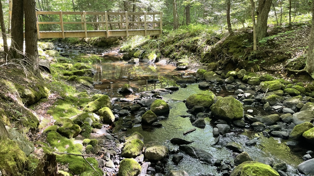
The area shown in the two pictures above sat under approximately 40 feet of water. Trailside signs tell the story of the building and breaching of the dam, and of the disaster that followed, claiming 139 lives and destroying many buildings in the towns and villages along the Mill River.

Standing in front of the remaining stone structure that was the core of the dam.
42.42889° N, 72.73961° W
(copy and paste GPS coordinates into browser search bar for exact location)

This 1.5-mile woodland trail traverses the east bank of the Mill River and leads to the ruins of the dam whose breach on May 16, 1874 caused the Mill River Flood disaster. This article online provides a lot of background on the disaster.

The area shown in the two pictures above sat under approximately 40 feet of water. Trailside signs tell the story of the building and breaching of the dam, and of the disaster that followed, claiming 139 lives and destroying many buildings in the towns and villages along the Mill River.

Standing in front of the remaining stone structure that was the core of the dam.

