Chesterfield Gorge
February/12/2023
Coordinates:
42.39333° N, 72.88019° W
(copy and paste GPS coordinates into browser search bar for exact location)

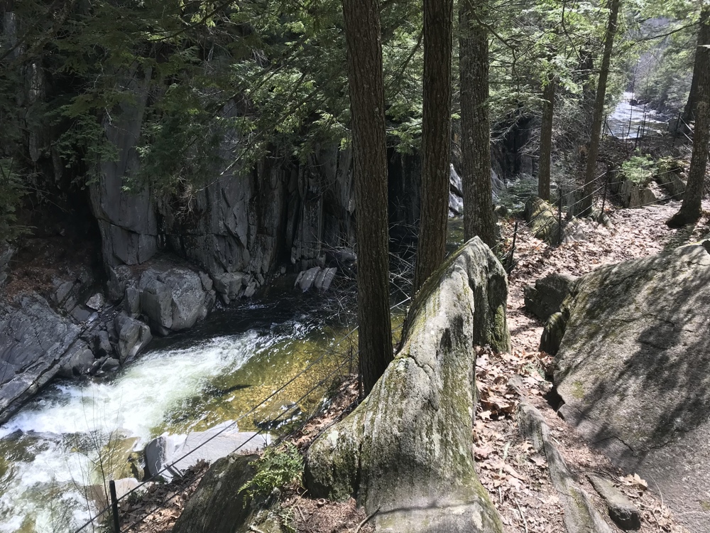
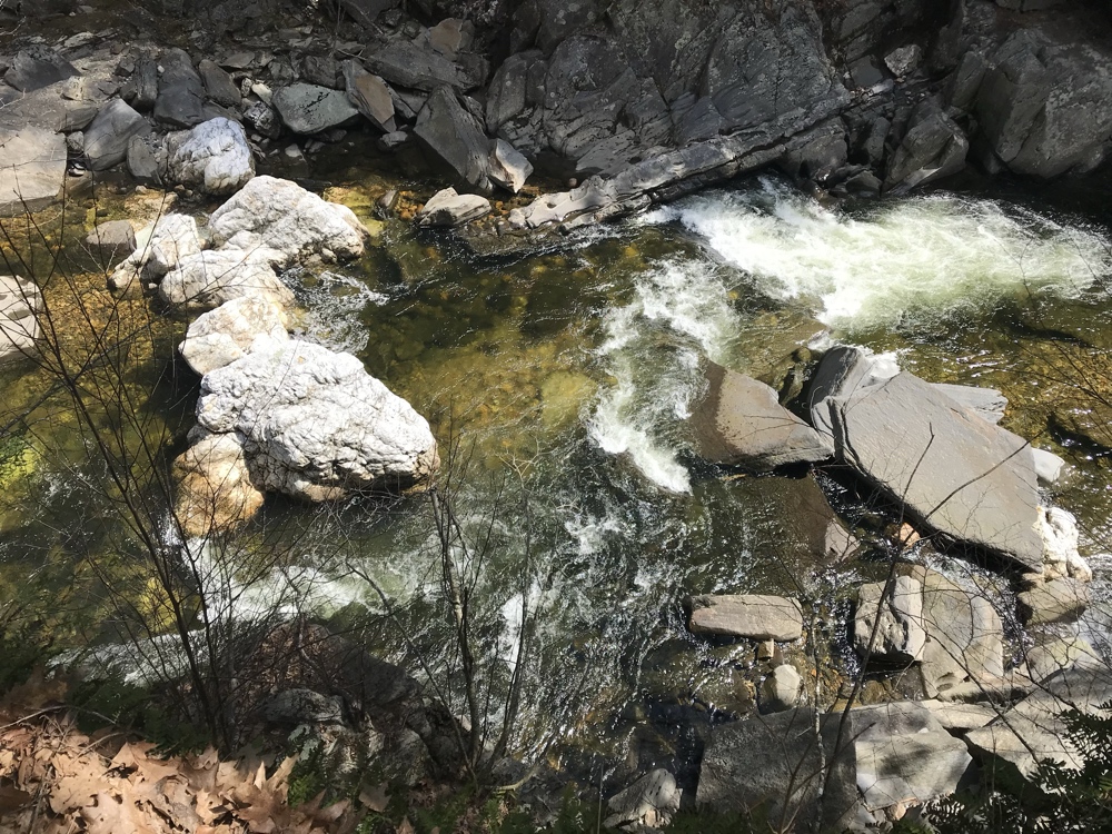
Steep stone walls and a pool & drop section of the Westfield River form within the Chesterfield Gorge.

From The Trustees of the Reservation:
Chesterfield Gorge is a dramatic rock canyon, forming the entrance to an extensive natural recreation area along the Westfield River, a popular spot for catch-and-release fly fishing. Seventy-foot walls—carved by centuries of rushing water from the East Branch of the Westfield River—rise from a landscape situated adjacent to the General Marquis de Lafayette Trail. Across the river, you’ll see stone abutments from a historic bridge that spanned the river around 1762, swept away by floodwaters in 1835.
42.39333° N, 72.88019° W
(copy and paste GPS coordinates into browser search bar for exact location)

Steep stone walls and a pool & drop section of the Westfield River form within the Chesterfield Gorge.

From The Trustees of the Reservation:
Chesterfield Gorge is a dramatic rock canyon, forming the entrance to an extensive natural recreation area along the Westfield River, a popular spot for catch-and-release fly fishing. Seventy-foot walls—carved by centuries of rushing water from the East Branch of the Westfield River—rise from a landscape situated adjacent to the General Marquis de Lafayette Trail. Across the river, you’ll see stone abutments from a historic bridge that spanned the river around 1762, swept away by floodwaters in 1835.

